
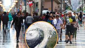
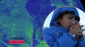
The Climate in Lima and much of the Peruvian coast will experience noticeable changes this weekend. The South Pacific Anticyclone is approaching the continent, and its arrival will bring an important increase in wind speed, along with other variable weather conditions, according to recent reports from the Senamhi.
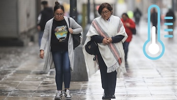
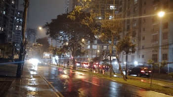
Metropolitan Lima, along with several coastal regions, will experience cloud cover , a lower thermal sensation, and drizzle events from Friday, August 1, to Sunday, August 3, as per the institution’s projections.
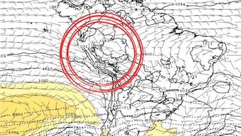
In its recent communications through platform X, the meteorological entity reported that the South Pacific Anticyclone would cause an increase in winds at different levels along the country’s coastal strip.
This condition, classified as a danger orange level, will affect both Lima and the regions of Áncash, La Libertad, Lambayeque, Piura, Arequipa, Ica, and the Constitutional Province of Callao.
Senamhi projections indicate that on Saturday, August 2, and Sunday, August 3, wind bursts will reach maximum speeds of 32 kilometers per hour in the north, around 40 kilometers per hour in the center, and up to 44 kilometers per hour along the Ica coast. Meanwhile, winds on the South coast will hover around 22 kilometers per hour .
The Senamhi predicts that these conditions will not only result in an increase in wind speed but will also be accompanied by greater cloud presence, mist, and drizzle events, particularly during the night and early mornings. These conditions will intensify the chill factor , especially in districts near the sea, potentially causing a reduction in horizontal visibility.
The Meteorological Notice No. 261, disseminated by Senamhi, will be effective from 2:00 PM on Friday, August 1, until Sunday, August 3, at 11:59 PM.
During these 57 hours, the Peruvian coast faces moderate to strong wind conditions, activating alerts for various sectors, including transport, civil protection, and health.
Metropolitan areas like Lima and Callao must take into account the forecast of constant cloud cover, drizzle episodes, and a more significant decrease in temperatures, which will exacerbate the cold sensation for the populace. This weather phenomenon may also cause the lifting of dust and sand, impacting visibility, particularly on road surfaces and in open spaces.
In light of this situation, the National Institute of Civil Defense (INDECI) has disseminated a number of preventive recommendations based on information from Senamhi. This agency emphasizes the necessity for citizens and local authorities to stay alert to potential adverse effects arising from these phenomena.
Among the key recommendations, residents are urged to secure roofs to protect structures vulnerable to high winds and to reinforce windows and enclosures. Additionally, the population is advised to maintain a safe distance from electrical cables, sharp objects, and unstable buildings. For the fishing and maritime sectors, the recommendation entails properly securing vessels to prevent uncontrolled damage or displacements due to wind.
On a health front, INDECI advises wearing warm clothing and impermeable gear, advising the consumption of hot beverages, and seeking medical attention promptly in case of respiratory or allergic symptoms.

Lima is set to face days marked by persistent fog and light drizzles across various districts, especially those near the coastline. Reduced visibility due to mist will pose a risk to mobility and vehicular traffic. Citizens must remain attentive to updated posts from Senamhi and local authorities regarding the evolving conditions of this phenomenon.
In regions like Ica, the highest peaks of wind speed are anticipated, which could lead to dust lifting and further challenges for residents and agricultural workers. Similar effects are expected in Áncash and La Libertad, likely resulting in temporary restrictions for outdoor activities.
The National Emergency Operations Center (COEN) is actively monitoring the situation, coordinating with regional and local governments to respond promptly to any issues linked to the meteorological phenomenon.
Authorities urge the public to adhere to preventive measures, review the condition of their homes, and stay informed via official channels about the unfolding weather conditions.
The forecasted conditions for this weekend serve as a crucial reminder of the significance of preparation and prevention in anticipation of adverse climatic events . Senamhi continues to monitor the situation and will issue alerts as conditions evolve along the Peruvian coast.