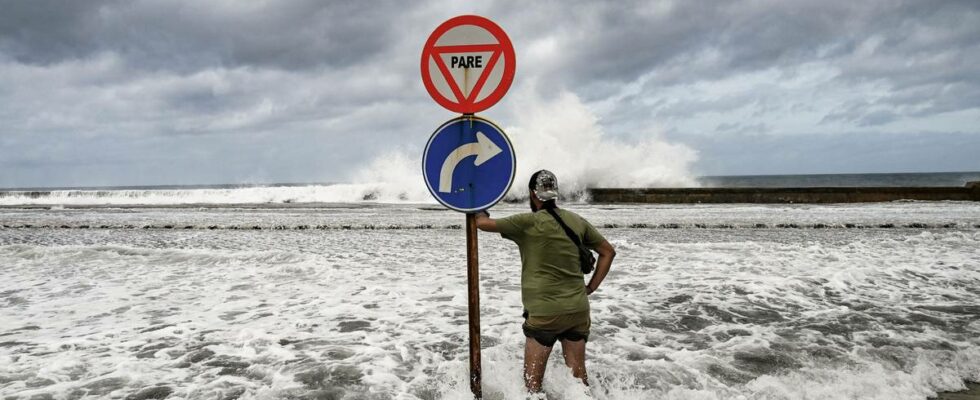
It is expected that the worst devastation from the hurricane will occur in the morning Norwegian time on Thursday. Long before that, the water will begin to rise along the southern part of the west coast of Florida. The extreme weather “Milton” brings with it very strong winds that push the sea in towards the land. In addition, there is very low air pressure where the hurricane resides. It will also contribute to sea level rise. This wall of water is called the storm surge, and is usually the most dangerous part of hurricanes. Five meters above normal The warnings indicate that the storm surge may be five meters high in some places. – The highest water level will come along the coast near where the hurricane meets land and south of this area, writes the US National Hurricane Center. They add that the storm surge will be in addition to the large waves created by the storm. Exactly how destructive the storm surge will be also depends on whether there is high water when the hurricane makes landfall, the center warns. Your browser does not support the embedding of external content – It will be bad The Norwegian researcher Eirik Valseth at the Norwegian University of Environmental and Life Sciences follows the development of hurricane “Milton” closely. It is the tool he and his colleagues have developed that is now the background for the notifications the population of Florida receives. – This will be bad. We create simulations of the storm surge several times a day. We give them directly to the US authorities. They use them to assess the risk to citizens. All the simulations indicate that there will be extensive flooding, says Valseth. He hopes everyone who has been told to evacuate has done so. – I think it is very good that the work I have done helps to keep people safe, even though it is terrible to see that such a big disaster is going to happen, says Valseth. Connor Ferran (left) and his neighbor Leroy Roker at Ferran’s house after storm Milton passed. Photo: JOE RAEDLE / AFP Confident in the results The graphic representation of the predicted storm surge, i.e. the result of the simulations, is publicly available through the tool Costal Emergency Risk Assessment. – We use a lot of different data to achieve as accurate simulations as possible, says Valseth. This includes weather data from the American Meteorological Service, data from aircraft entering the hurricane and the many tidal buoys in the area. DATA FROM FLIGHTS: These are data points from one of the planes that have been inside the hurricane on Wednesday. The color of the many arrows shows the wind strength when the aircraft passed that position. This is data that goes straight into the simulations. Photo: NOAA They also test the tool by comparing what the simulations predicted with what actually happened. – Hurricane Helene a couple of weeks ago gave us another opportunity to make a comparison. We were very close to what actually happened, says Valseth. National Oceanic and Atmospheric Administration flies through the eye of Hurricane Milton. Published 09.10.2024, at 20.41 Updated 09.10.2024, at 21.42
ttn-69
Warns of major floods due to hurricane “Milton” – news Urix – Foreign news and documentaries