
4.2 Magnitude Earthquake Recorded in Chiapas
The National Seismological Service has reported a 4.2 magnitude earthquake that struck 37 kilometers southwest of Tonala, Chiapas. This event occurred on May 20, 2026, at 4:49 p.m. The earthquake registered a depth of 84 kilometers with the epicenter located at coordinates 15.83 latitude and -93.99 longitude.
As of this moment, there have been no reports of damage or significant consequences resulting from this seismic event. Notably, data recorded up until 2:25 p.m. indicated that no other seismic activity had been noted across the Mexican Republic.
Morning Seismicity Report for May 20, 2026
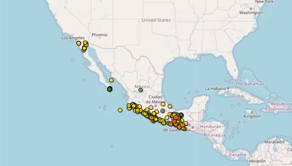
On this day, the National Seismology authorities provided an overview of the various earthquakes that occurred in Mexico. The key details of the most significant tremors are summarized below:
- Strongest Earthquake: A magnitude 4.0 quake occurred at 6:35 a.m., 20 kilometers southwest of Ocozocoautla, Chiapas, with a depth of 175.8 kilometers.
- Other Notable Earthquakes:
- Magnitude 3.9 at 12:48 a.m., located 65 kilometers southeast of San Felipe, Baja California, with a depth of 10 kilometers.
- Magnitude 3.7 at 3:20 a.m., 20 kilometers south of Puerto Vallarta, Jalisco, at a depth of 5.7 kilometers.
- Several aftershocks ranged between magnitudes 2.6 and 3.6 in Guerrero, Oaxaca, Michoacán, Colima, Chiapas, and Veracruz.
Simple Explanation
- Magnitude: This figure indicates the strength of the earthquake. Most quakes recorded today were of low magnitude, typically less than 4.0, and are usually only perceptible in areas close to their epicenters.
- Location: Tremors predominantly affected the southern and western regions of the country, including states such as Chiapas, Guerrero, Oaxaca, Michoacán, Colima, Jalisco, and Veracruz, known for their seismic activity.
- Depth: The recorded depths vary significantly, ranging from 1.2 kilometers to 175.8 kilometers. Generally, shallow earthquakes (those less than 70 kilometers deep) are felt more intensely, while deeper quakes, like the one near Ocozocoautla, are often less noticeable.
In summary, the morning and early hours of May 20 have revealed a series of mild to moderate earthquakes across various regions, with no large-magnitude seismic events or reported damages thus far.
4.0 Earthquake Recorded in Chiapas
Further details reveal that a 4.0 magnitude earthquake was also recorded today, specifically at 6:35 a.m. This quake was situated 20 kilometers southwest of Ocozocoautla, Chiapas, at a depth of 175 kilometers and marked by coordinates 16.64 latitude and -93.51 longitude.
It is important to recognize that Mexico is situated within a highly seismic zone due to the presence of five tectonic plates: the Caribbean, North America, Pacific, Rivera, and Cocos Plates. The ongoing interactions between these plates contribute to the country’s susceptibility to frequent seismic activity.