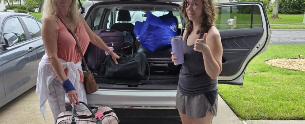
Hurricane “Milton” is expected to hit the coast of Florida on Thursday morning Norwegian time. On Tuesday, US President Joe Biden urged people to follow the evacuation order from the authorities. – This could be the worst storm to hit Florida in over 100 years. God willing, it won’t be, but it looks like that right now, he said. Many of the inhabitants of the state in the south-east of the country panicked. In the millionaire city of Tampa, cars lined up to pick up sandbags at a sports arena, which they were supposed to use to protect their homes. Young and old fill sandbags while waiting for storm Milton. Photo: Jose Luis Gonzalez / Reuters – Very chaotic and stressful Among those who are now evacuating their homes is the weatherman Marit Hansen Mouchou. She lives and works on the flat and exposed island of Sanibel on the southwest coast of Florida. On Tuesday afternoon local time, she evacuated the holiday town with several thousand residents outside the tourist season inland to Fort Myers. When news calls Mouchou on Tuesday afternoon local time, she is in the process of evacuating. – It is very chaotic and stressful, she says. While the hurricane is raging, she will live in the house of a friend’s brother with nine other people, four dogs and a bird, she says when she arrives at the house. – Now I have parked the car, unpacked the suitcase, got a bed and opened the best bottle of wine I have, says Mouchou. Some of the people and the animals Marit Mouchou will live with until the hurricane is over unpacks food after being evacuated. Photo: Private Your browser does not support the embedding of external content Considering moving because of hurricanes The island he lives on should be evacuated by 10 pm on Tuesday local time. It is a so-called mandatory evacuation, which means that those who choose to stay on the island must fend for themselves. Without help from the police, fire brigade or health personnel. – We are used to this. Have done what we could. Now it’s just a matter of riding out the storm. It appears that the hurricane is hitting the Tampa area to the north of us. And then we won’t get the hurricane winds. But we can still get “storm surge”. It was also during “Ian” in 2022. Then the sea rose so much that people drowned in their homes. Mouchou has been through several major hurricanes while she has lived in the USA since 1999. When a hurricane hit her home in September 2022, Mouchou lost much of what she owned. – The whole gang is a bit of a nervous wreck after that experience. She is considering moving from the island because of the many hurricanes. – I cannot continue to evacuate like this year after year. The island I live on is still under construction after “Ian”, says Marit Hansen Mouchou. Quiet before the storm Henrik Solvorn Fjeldsbø from Høyanger is also evacuating the west coast of Florida now. By car from the city of Clearwater, where his wife Lindsay rents a house with her mother and her son. – Right now it is, as the saying goes, calm before the storm, said the senior to news before the family left on Tuesday afternoon Norwegian time. When he planned to take his daughter from Høyanger to Florida, it was with sunbathing and beach life in mind. But the weather forecast changes quickly. Henrik Fjeldsbø and his family flee from “Milton”. Photo: Henrik Solvorn Fjeldsbø – On departure on Saturday there were hints that a storm could develop. When we got here on Sunday morning it was clear that it would be a hurricane and that it would hit Florida. But people behave. They pack their cars and try to get away as best they can, he says. – As a westerner, I am used to harsh weather, especially autumn and winter. But what they are reporting here now is a bit beyond comprehension, says Fjeldsbø. It is only a week since hurricane “Helene” hit Florida. It has left clear traces behind it, says Fjeldsbø. – On Clearwater Beach and the beaches below, shops are broken, houses are broken. There is wreckage everywhere, he says. Fjeldsbø believes that this could lead to extra-large devastation from “Milton”. – There will be lots of projectiles that can penetrate houses and cars. That’s why I think people stress extra about getting away, he says. Hamstrar Fjeldsbø believes that the most important thing is to try to keep calm, not to panic, to be good at preparations and to focus on getting away. – Beyond Sunday and Monday, people have been hoarding. They have secured valuables, property, cars. You can also see that people have evacuated in a big way. At the latest yesterday, we had friends over here who were going to fill their car with gas to get ready for evacuation. They visited seven petrol stations before they finally got hold of fuel, says the parish. When the storm is over, hopefully on Thursday or Friday, the high regret and his entourage are thinking of going back to make sure that everything is in order and get ready for a normal weekday again. – The question is, will I have electricity when I get back, will I have water? Will there be a well-functioning sewage system, and not least, will the house stand? Powerful hurricanes Global warming will most likely cause tropical hurricanes to become more powerful, according to the UN climate panel. The reason is that the ocean is warmer than before. New areas may be exposed to remnants of tropical hurricanes. Whether the total number of hurricanes changes is uncertain. Probably there will be the same number or fewer. Swipe to see how a hurricane forms. AFP A hurricane forms Imagine a sea temperature of over 26-27 degrees. The water evaporates and the warm air rises. The air contains a lot of moisture. High up, the air becomes colder, the moisture becomes difficult to retain and a lot of energy is released. If the wind strength is more than 32.6 m/s, we call it a hurricane. AFP Great destruction In a tropical hurricane, the strong winds and enormous amounts of rainfall lead to great destruction. Storm surges and storm surges are also a feared consequence of the hurricane. Already now, increased sea levels are causing both waves and tides to reach further inland. Stronger and more intense hurricanes will lead to more extensive damage. AP Framtiden The American Meteorological Institute (NOAA) believes that an extra number of powerful hurricanes may occur in the Atlantic Ocean this year. Residents in hurricane-prone areas will probably have to get used to both earlier and more powerful hurricanes, according to climate scientists. Hurricanes are also known as cyclones and typhoons in other waters. AP A scale Hurricanes are categorized according to wind strength, where the numbers 1-5 are used. The scale is called Saffir-Simpson. It is category 4 and 5 that we will see more of in the future. Some scientists have suggested that the scale should go to 6, to give more room for hurricanes that grow in size and strength. – Ride or die “Milton” hits Florida less than two weeks after Hurricane Helene claimed more than 200 lives there and in other states. President Joe Biden has approved a number of crisis measures, and he is also asking the airlines to help ensure that people can be evacuated without increasing prices. Florida’s governor Ron Santis held a press conference on Tuesday where he listed all the cities that are at risk of being hit. Walls are being erected around the hospital in Tampa, to protect it from storm surge from storm Milton. Photo: BRYAN R. SMITH / AFP The mayor of Tampa, Jane Castor, also gave a clear message that the storm could be catastrophic. The city, which has 3 million inhabitants, was badly hit by the hurricane at the end of September. – Helene was a wake-up call. This is literally catastrophic. I can say without any exaggeration: If they choose to stay in one of the evacuated areas, they will die, she said in an interview with CNN on Tuesday. Published 08.10.2024, at 22.57 Updated 09.10.2024, at 00.41
ttn-69
Norwegians evacuate from Florida before hurricane “Milton” – news Urix – Foreign news and documentaries