
Celebrating 50 Years of Earth Imagery
Since their launch in 1972, NASA’s Landsat satellites have been pivotal in capturing detailed images of the Earth’s surface. This continuous stream of data offers invaluable insights for managers, planners, and policymakers focused on natural resource management and environmental protection. However, there’s a creative twist to this impressive technological achievement: a new interactive tool that allows users to write their names using natural landscapes captured by Landsat.
Your Name in Landscapes
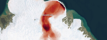
The Landsat tool invites users to input their names or any desired word. After hitting enter, an array of images appears, each representing one letter in stunning natural formations such as rivers and mountains. Users have the option to download the resulting composite image or hover over each letter to unveil its exact geographic coordinates and a brief description of the landscape depicted. For instance, the first letter of your name may emerge from a winding river, while the last could be represented by a flow of volcanic lava surrounded by majestic mountains.
The Complete Alphabet of Nature
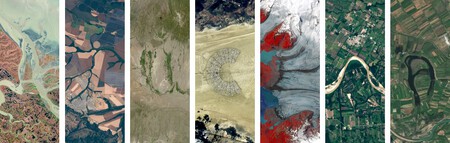
Curious about the imagery available for each letter? The Landsat program allows users to explore a complete alphabet of photos. Some letters, like “A,” have numerous options, showcasing a variety of geographical features. In contrast, less common letters, such as “G,” are represented by a singular and unique landscape.
LILY
An Appointed Date for Earth Day
This innovative tool was unveiled on April 22, coinciding with Earth Day. This annual event raises awareness about pressing environmental issues facing our planet. The Landsat imagery serves not only to inform but also to engage the public, making the scientific data accessible and relatable.
More About Landsat
NASA’s Landsat program has become a cornerstone for environmental research. According to NASA, researchers have utilized the extensive Landsat archive to monitor urban growth, coastline changes, and fluctuating crop cycles and forest health. This focus on scientific-quality instruments ensures that changes captured in subsequent images genuinely reflect real-world transformations.
The beauty of this project lies in its accessibility. All Landsat data is freely available, empowering everyone—whether a seasoned scientist or a curious individual—to explore and analyze Earth’s landscapes. Ultimately, we all share the responsibility to care for our planet, and the ability to express that ownership through creative endeavors like writing our names with rivers or lava paths adds a personal touch to environmental awareness.