
Severe Temperature Drop in the Buenos Aires Metropolitan Area
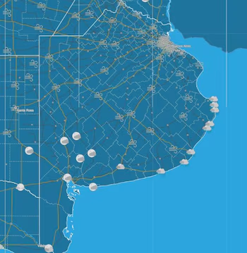
The start of the new year brought about unexpected weather changes, including a sharp decline in temperatures in the Buenos Aires Metropolitan Area (AMBA). Following a week where temperature peaks reached highs of 40 degrees Celsius with wind chill, the forecast for Saturday indicates a significant drop. This temperature change follows a tumultuous Friday characterized by cloudy skies and strong winds along the Atlantic Coast.
Impact of Wind and Temperature Changes
On Friday afternoon, gusts exceeded 50 kilometers per hour (km/h), with temperatures dipping below 20°C. The National Weather Service (SMN) has maintained alerts for wind bursts, predicting speeds of 45 to 70 km/h in coastal regions and the nearby Silver River estuary during the early hours of Saturday. This trend will progressively decrease throughout the day, but high wind speeds are expected to continue.
Weather Conditions on Saturday
Residents of the City of Buenos Aires felt the effects of this climatic change early Saturday morning, with wind speeds peaking at 59 km/h in various areas. Such conditions will result in minimum temperatures ranging from 16 to 18 degrees Celsius, while maximum values will hover between 20 and 26 degrees Celsius. The sky is expected to remain mostly cloudy, though some clearing may occur as the day progresses.
Cold Front Dynamics
This significant cold front marks a stark contrast to typical summer temperatures. Christian Garavaglia of Meteored remarked, “We witnessed the arrival of the first of two cold air masses expected this period.” There were also reports of rain in the northern suburbs, accompanied by more intense storms noted from Campana to the Zarate area. The SMN issued a short-term warning concerning these developments.
Flooding Concerns Along the River Plate
Along with the temperature drop, the rising force of the south wind is expected to affect the levels of the River Plate. Authorities anticipate significant flooding on Saturday afternoon, with flood peaks recorded at over 2.40 meters at the Port of Mar del Plata. As a result, the Naval Hydrography Service issued alerts, expecting river heights to reach between 2.20 and 2.30 meters across AMBA ports.
Long-term Outlook
Meteored has warned that the most significant flooding will occur as the cold front establishes itself. Water levels are expected to climb throughout Saturday morning, peaking in the afternoon with estimates between 2.80 and 3.10 meters in the ports of Buenos Aires and San Fernando.
Conclusion
The abrupt shift in weather poses challenges for the region, affecting outdoor plans as well as transportation and safety measures. The SMN suggests that while unstable weather will persist with potential showers early Saturday, conditions are expected to stabilize as the weekend progresses, with rising temperatures and partial cloud coverage.