
Severe Weather Alerts as Heatwaves Transition to Thunderstorms in France
Recent heatwaves across France hit alarming peaks, with temperatures soaring up to 36°C during the last week of May. However, as we transition into June, the weather is taking a dramatic turn. Météo France, the national meteorological service, has issued orange vigilance alerts for thunderstorms across 14 departments, including notable regions such as Ain, Jura, Loire, and Rhône.
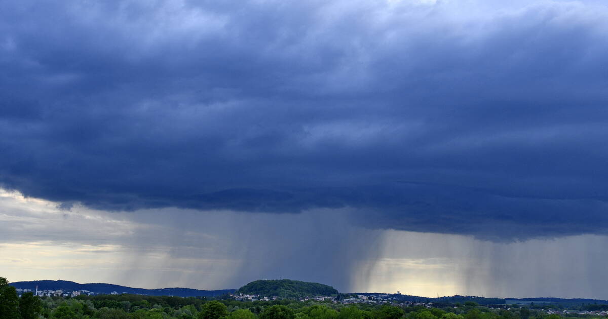
(Image caption: Dark clouds gathering for an impending thunderstorm)
According to Météo France’s latest bulletin, there is a significant risk of intense thunderstorms this afternoon and evening. The forecasts suggest gale-force winds reaching speeds of 80 to 100 km/h, coupled with heavy rainfalls of 20 to 40 mm expected within just a few hours. This kind of weather not only makes the streets hazardous but also poses substantial risks of lightning strikes.
Further underlining these concerns, a spokesperson for Météo France stated, "This risk will persist into the evening and throughout the night, mainly from Auvergne to Alsace, passing through Bourgogne-Franche-Comté and Lorraine." The bulletin also highlighted an "unstable axis with ongoing rain showers moving from the Pyrénées to the Swiss borders," with an easing of conditions anticipated by midnight.
 (Image caption: Weather forecast indicating thunderstorms and heavy rain)
In the southwest region of France, thunderstorms are predicted to impact the area around 19:00. Reports from Météo France indicate that the rainfall in these storms will be "very abundant," leading to potential flash flooding in certain locales.
The past weekend proved to be a harbinger of the tumultuous weather, as significant thunderstorms swept through the country, leaving behind a trail of destruction. On Sunday, June 1, and Monday, June 2, there were reports of severe thunderstorms that caused significant damage. Over 1,500 households were left without electricity in Puy-de-Dôme, where the region was struck by a "supercell thunderstorm." This classification denotes one of the most violent and devastating types of storms, characterized by its singular, large storm cell – often measuring between 20 to 40 km in diameter – that is driven by a powerful rotating updraft.
 (Image caption: A supercell thunderstorm brewing)
Experts from Météo France clarify that these supercell storms are exceptionally dangerous due to their potential for severe hail and tornadoes, along with the strong winds already mentioned. Given the severity of these predictions, authorities are urging residents to take precautions. They recommend staying indoors during severe storms, securing any outdoor furniture, and avoiding unnecessary travel during peak storm conditions.
As the week progresses, the unpredictability of the weather continues to challenge safety and day-to-day activities for residents across affected regions. With temperatures having previously soared and forecasts now trending towards extreme thunderstorms, the juxtaposition underscores the realities of climate change, where such rapid weather transitions have become increasingly common.
Meanwhile, the five departments in the south-west that are under orange alert remind citizens that the risk associated with these storms is far from negligible. Reports suggest that preparedness and awareness can significantly mitigate the risks presented by these severe weather events.
The remainder of the week will be closely monitored, as meteorologists remain on alert for changing conditions that could exacerbate the ongoing situation. As residents are urged to stay informed through official channels, it becomes crucial for communities to come together, sharing resources and information, especially during these increasingly unpredictable times.
In conclusion, France is currently experiencing a volatile phase in its weather patterns, transitioning from a record-setting heatwave to potential thunderstorms that could prove dangerous. The latest updates from Météo France remind every citizen of the importance of remaining vigilant and prepared. Understanding these shifts not only informs personal safety but also highlights the pressing need to address broader environmental issues related to climate variability.